Collection: Greenslopes Collection
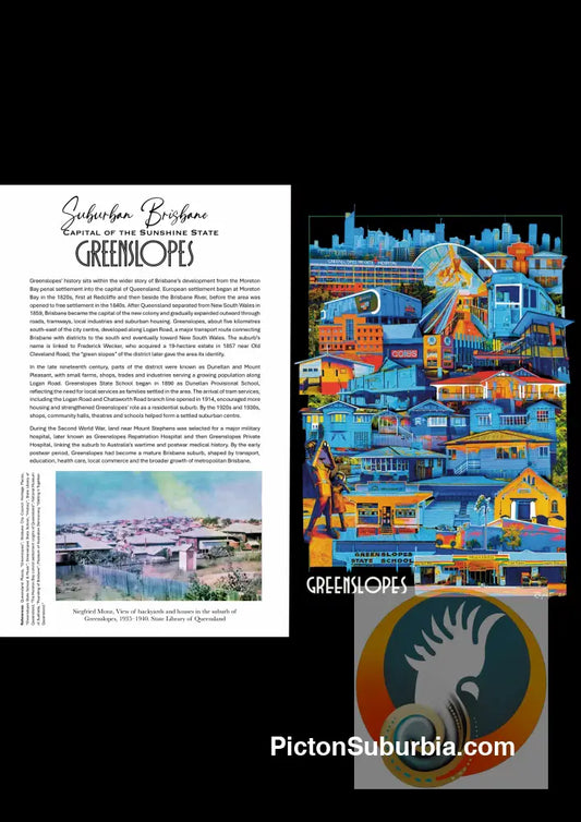
Greenslopes, a suburb located about 6 kilometres south of Brisbane’s CBD, has a history shaped by transport routes and suburban expansion. The area began developing in the 1850s along a bullock track—later known as Logan Road—which followed an earlier Aboriginal pathway and connected Brisbane to southern settlements. 1 Land in the district was first sold in large portions from the 1850s and later subdivided into estates such as Dunellan and Mount Pleasant, encouraging residential settlement. 2 The suburb takes its name from an estate owned by Frederick Wecker, who purchased land in 1857 and named it for its “green slopes.” 3 Development increased in the late 19th and early 20th centuries, supported by transport improvements including tram services along Logan Road, as well as the growth of local industry and community facilities such as schools. 4 By the mid-20th century, Greenslopes had become a well-established residential suburb, further shaped by the construction of the Greenslopes Hospital during World War II, which added to its importance in Brisbane’s urban landscape. 5
Reference List

-
Greenslopes Suburb Postcard / Set of 5/ A6 or A5 /
Vendor:Picton SuburbiaRegular price From $4.00 AUDRegular price -
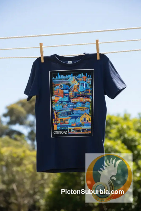
Greenslopes Suburban: Tee
Vendor:Picton SuburbiaRegular price $49.00 AUDRegular price -
Greenslopes Suburb - Tote
Vendor:Picton SuburbiaRegular price $48.00 AUDRegular price -
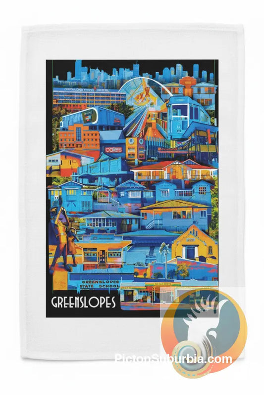
Greenslopes Suburb : Tea Towel
Vendor:Picton SuburbiaRegular price $37.00 AUDRegular price -
Greenslopes: Suburb Art print
Vendor:Picton SuburbiaRegular price From $30.10 AUDRegular price -
Greenslopes Greeting Card Pack / Set of 5
Vendor:Picton SuburbiaRegular price $17.99 AUDRegular price